
GeoSmar
AI-driven risk prediction and cloud platforms for real-time analysis of geotechnical monitoring data.

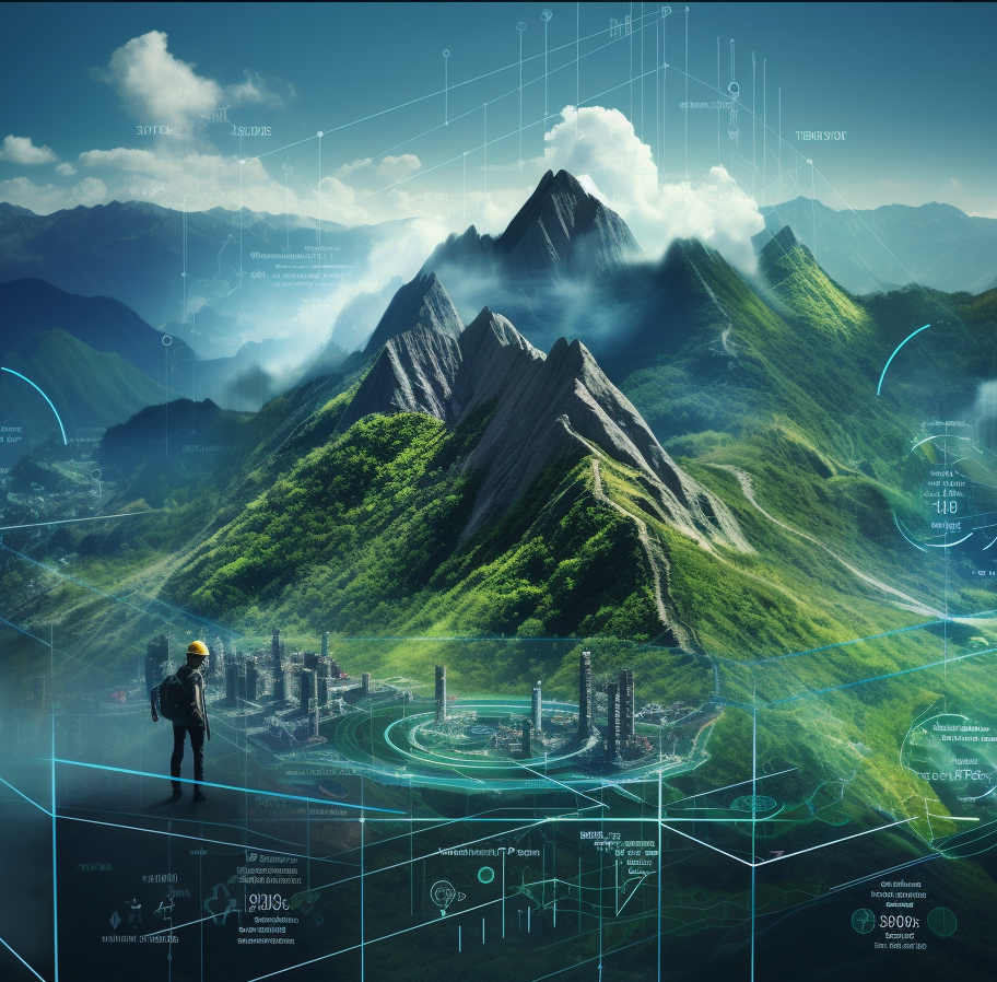
Smarter Data, Safer Ground
We transform raw sensor data into clear insights with predictive AI and beautiful dashboards.
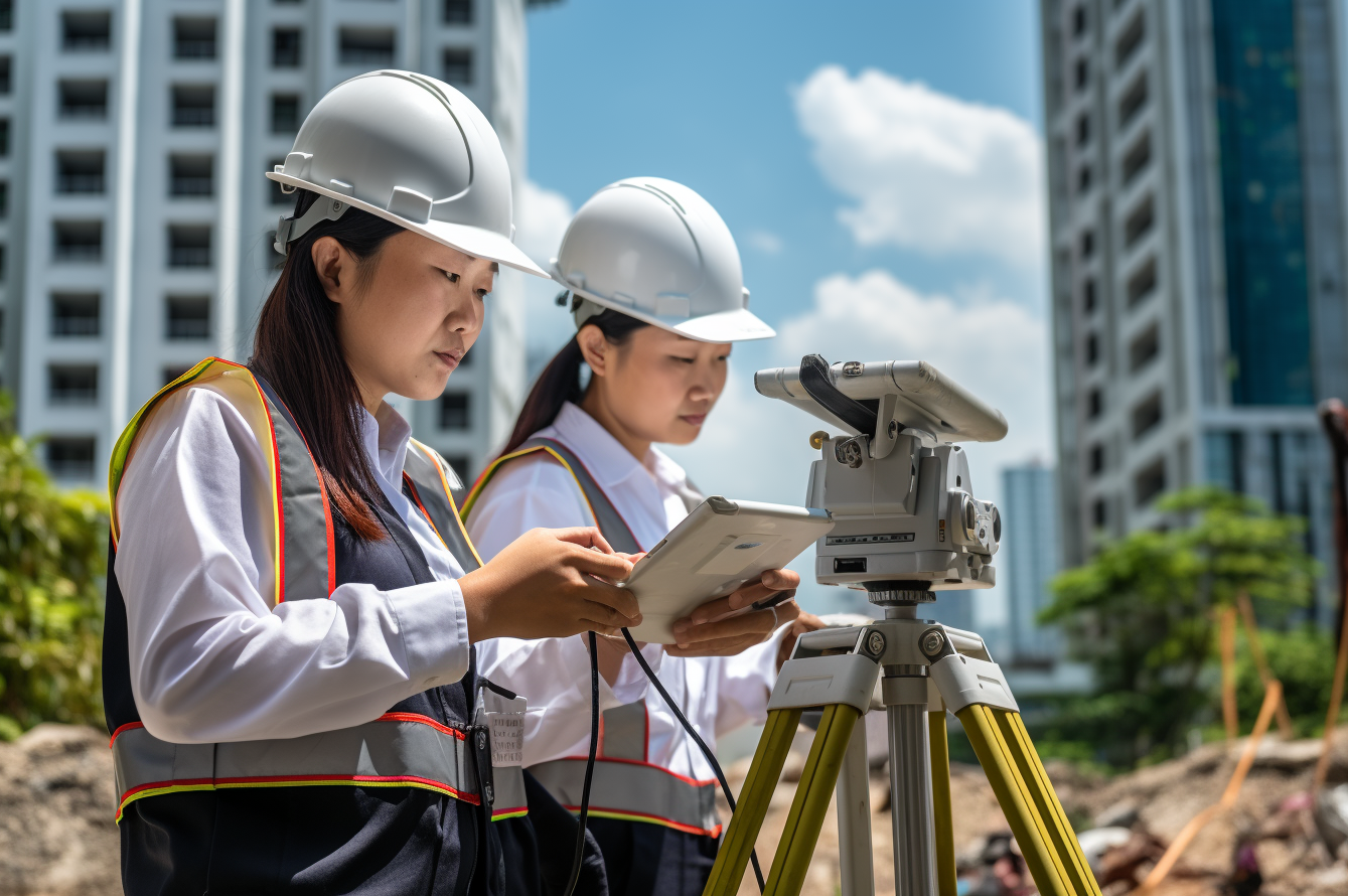
GeoSmar is GEOOE’s software innovation hub, offering cloud-based AI solutions that transform geotechnical data into actionable intelligence. GeoSmar’s platforms support multi-source data—from inclinometers and piezometers to weather sensors—analyzing trends, triggering alerts, and generating easy-to-understand reports. Our AI models, developed in collaboration with academic partners, help predict landslides, settlement, or failure risks with increasing accuracy. Built with modern web technologies, GeoSmar provides interactive 3D visualizations, remote dashboard access, and API integration for engineers and clients. It’s the digital backbone behind all of GEOOE’s monitoring projects, empowering data-driven decisions.
EXAMPLES OF SERVICE SCENARIOS
Landslide Risk Prediction. GeoSmar collects 3-months of slope data from a hillside in Hong Kong. AI algorithms analyze the relationship between rainfall, ground movement, and pore pressure. When rainfall exceeds thresholds and displacement accelerates, the system flags “high risk” and emails a risk map to the city’s geotechnical engineers.

Smart Alerts for Bridge Piers. GeoSmar supports a bridge monitoring project in Malaysia. Accelerometers on bridge piers detect vibration frequencies. When abnormal vibration occurs after heavy traffic or earthquake, GeoSmar sends an alert and stores waveform data for analysis.
Cloud Monitoring for Developers. A Singapore developer uses GeoSmar’s dashboard to track multiple projects across the city. In one interface, they view tilt readings, groundwater levels, and weather trends. Auto-generated reports help ensure regulatory compliance and save time on paperwork.
API Integration for Contractors. A large EPC contractor uses GeoSmar’s API to connect live geotechnical readings into their internal platform. Their project management team combines this with BIM data and site cameras for full digital twin visualization—improving control over timeline and safety.
